
TAAT e-catalog
for
private sector
https://taat.africa/com/technologies/geoagro-misr-yield-gap-analysis-tool
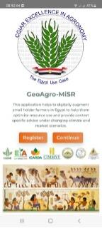
GeoAgro is a digital platform developed by ICARDA, designed to assist smallholder farmers. It offers a range of services including agronomy insights, weather updates, expert consultations, field-specific information, and a marketplace for buying and selling. It also provides financial advice, livestock management, water management solutions, and information about seeds and varieties. GeoAgro aims to optimize resource use, enhance agronomic gains, and support Egypt’s digital transformation agenda. It respects user privacy and contributes to ICARDA’s mission to address global challenges like climate change.
This technology is pre-validated.
Unknown
To integrate the GeoAgro app into your farming system effectively, follow these practical steps:
Download and Install: Ensure you have a compatible smartphone or tablet. Visit the Google Play Store or GeoAgro's web app to download and install the application promptly upon deciding to implement digital tools in your farming practices.
Initial Setup: After installation, create an account and input your farm’s data, including field sizes, crop types, soil conditions, and current management practices. Accurate data entry is essential for precise recommendations. Seek assistance from local agricultural extension officers or GeoAgro representatives if needed.
Gathering Farm Data: Conduct a comprehensive assessment of your farm to gather necessary data such as soil type, moisture levels, crop health, and weather patterns. Use soil testing kits and weather stations for accurate information. Complete this data collection before entering information into the app and periodically update as needed.
Local Partnerships: Establish connections with local agricultural institutions and GeoAgro representatives from Excellence In Agronomy (EiA). Reach out to agricultural extension services and consider partnerships with nearby universities or organizations for additional training and resources. Form these partnerships during or before the initial setup phase to ensure ongoing support.
Training and Learning: Participate in local training sessions or webinars offered by GeoAgro or agricultural institutions. These sessions provide practical workshops to help you navigate the app, interpret data, and implement recommendations effectively. Utilize online tutorials and user guides available within the app to enhance your understanding.
By following these steps, you can seamlessly integrate the GeoAgro app into your farming operations, optimizing farm management and productivity.
Adults 18 and over: Positive medium
The poor: Positive low
Under 18: Positive high
Women: Positive low
Farmer climate change readiness: Moderate improvement
Scaling Readiness describes how complete a technology's development is and its ability to be scaled. It produces a score that measures a technology's readiness along two axes: the level of maturity of the idea itself, and the level to which the technology has been used so far.
Each axis goes from 0 to 9 where 9 is the “ready-to-scale” status. For each technology profile in the e-catalogs we have documented the scaling readiness status from evidence given by the technology providers. The e-catalogs only showcase technologies for which the scaling readiness score is at least 8 for maturity of the idea and 7 for the level of use.
The graph below represents visually the scaling readiness status for this technology, you can see the label of each level by hovering your mouse cursor on the number.
Read more about scaling readiness ›
Uncontrolled environment: tested
Common use by projects NOT connected to technology provider
| Maturity of the idea | Level of use | |||||||||
| 9 | ||||||||||
| 8 | ||||||||||
| 7 | ||||||||||
| 6 | ||||||||||
| 5 | ||||||||||
| 4 | ||||||||||
| 3 | ||||||||||
| 2 | ||||||||||
| 1 | ||||||||||
| 1 | 2 | 3 | 4 | 5 | 6 | 7 | 8 | 9 | ||
| Country | Testing ongoing | Tested | Adopted |
|---|---|---|---|
| Egypt | –No ongoing testing | Tested | Adopted |
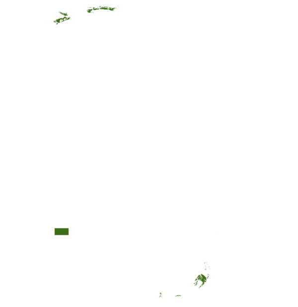
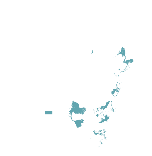
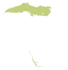
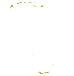
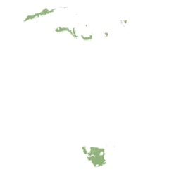
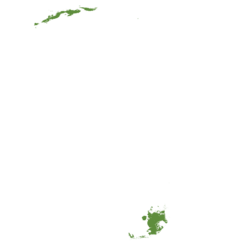
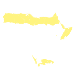
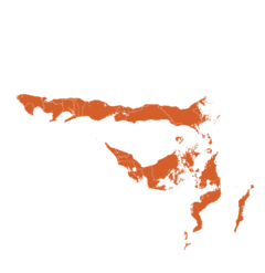
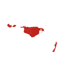
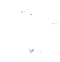
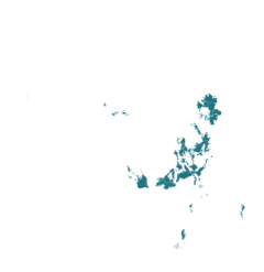
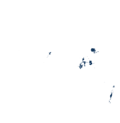
This technology can be used in the colored agro-ecological zones. Any zones shown in white are not suitable for this technology.
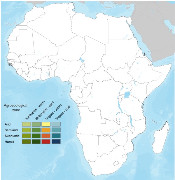



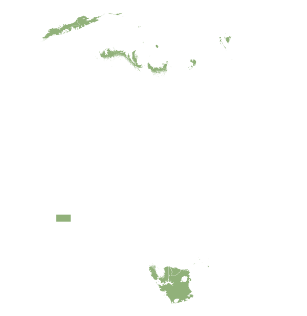
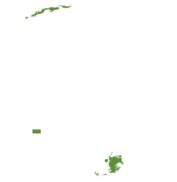





| AEZ | Subtropic - warm | Subtropic - cool | Tropic - warm | Tropic - cool |
|---|---|---|---|---|
| Arid | ||||
| Semiarid | ||||
| Subhumid | ||||
| Humid |
Source: HarvestChoice/IFPRI 2009
The United Nations Sustainable Development Goals that are applicable to this technology.






Here’s a step-by-step guide on how to use GeoAgro:
Registration: Start by registering on the GeoAgro platform. You’ll need to provide personal information such as your name, email address, phone number, age, gender, and role in agriculture.
GeoTagging Module: Use the GeoTagging module to submit your field characteristics. This involves answering a few survey questions about your plot, such as its latitude/longitude, the current crop, date of sowing, soil type, water management, fertilizer management, estimated crop yield, and more.
Access Information: Utilize the wealth of information available on the platform. This includes agronomy insights, weather updates, and the ability to consult with experts.
Marketplace: Use the marketplace feature to buy and sell products, thereby improving your access to markets.
Financial Advice: Take advantage of the financial advice and services offered by GeoAgro to improve your financial literacy and gain access to necessary financial services.
Resource Management: Use the specific information related to your field and the resource management solutions provided by GeoAgro to optimize your resource use and achieve better agronomic outcomes.
Climate Change Adaptation: As part of ICARDA’s mission, use the resources and advice provided by GeoAgro to adapt your farming practices to mitigate the effects of climate change.
Last updated on Sep 30, 2026
This technology can be used in the colored agro-ecological zones.







GeoAgro - MiSR -: Yield Gap Analysis Tool
https://taat.africa/com/technologies/geoagro-misr-yield-gap-analysis-tool
Last updated on 30 September 2026, printed on Oct 8, 2026
Enquiries e-catalogs@taat.africa